 |
|
 |
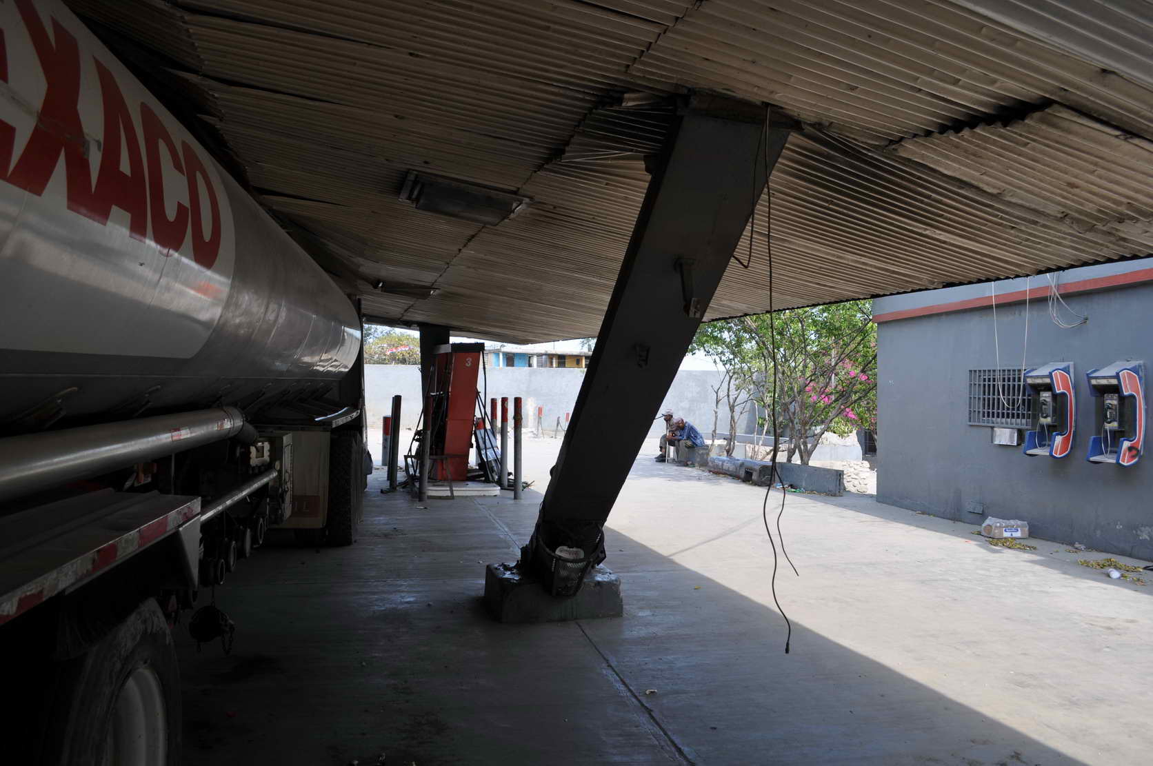
| Figure 1. Collapsed canopy at gas station. No anchorage at base of posts. |
|
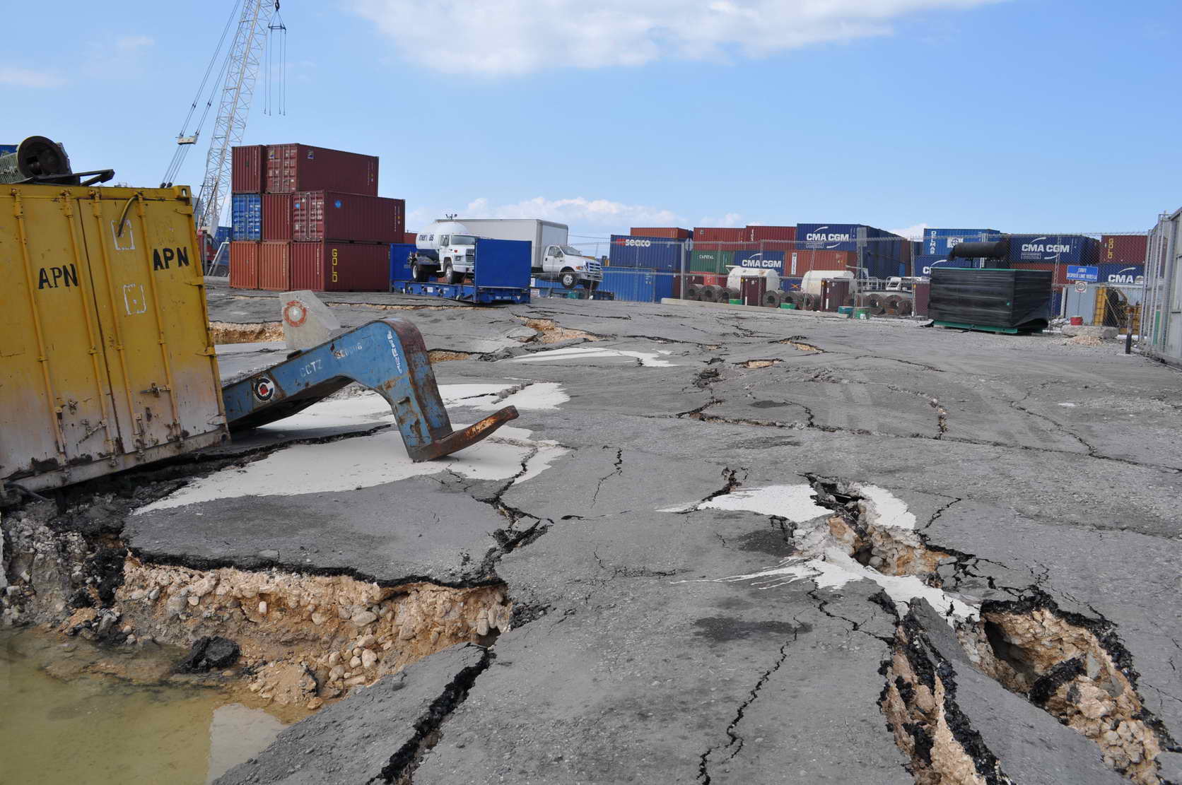
Figure 2. Lateral spreading at port. |
| |
|
|
| |
|
|
 |
|
 |
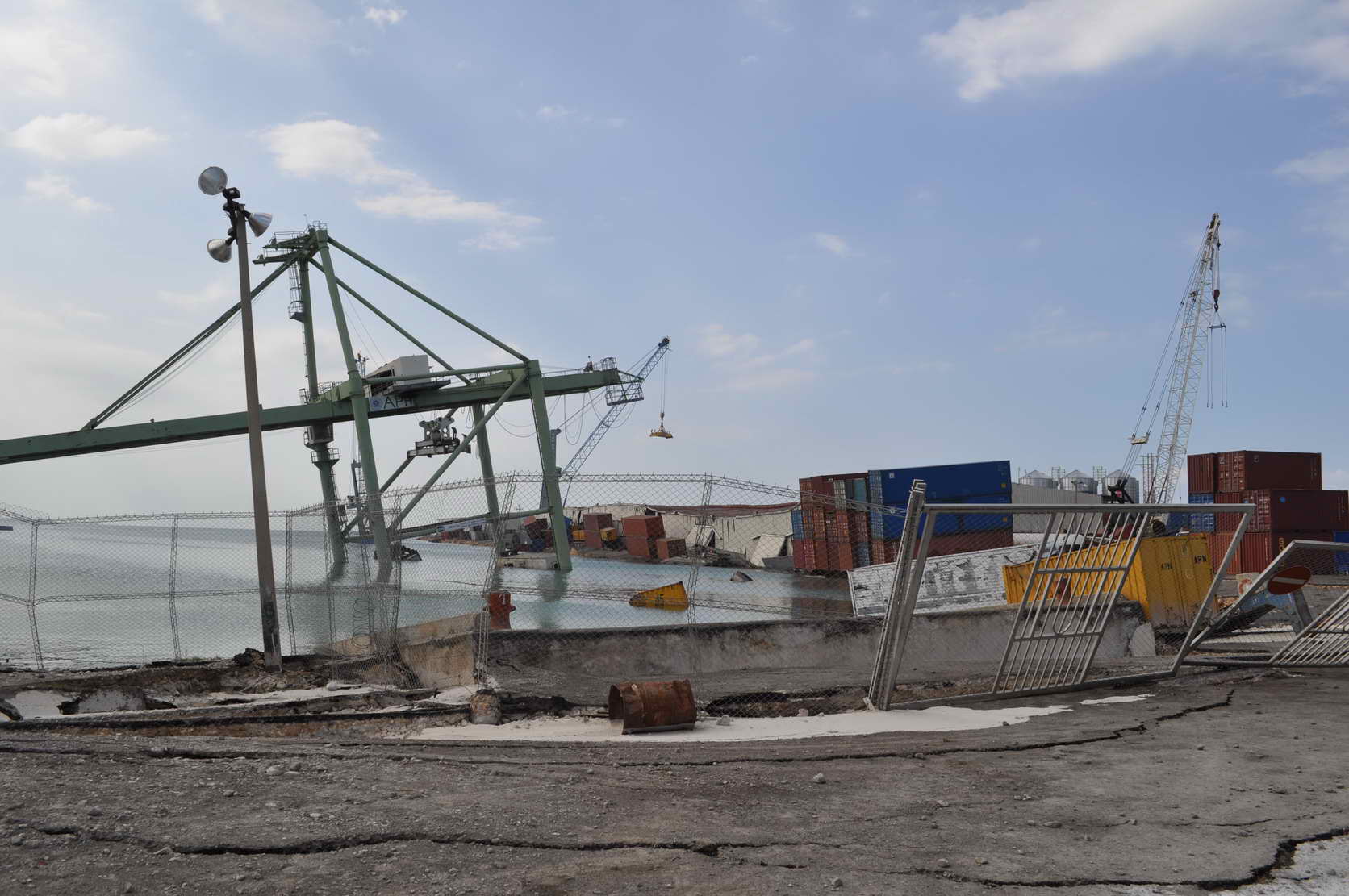
| Figure 3.Overview of collapsed pier and cranes at port. Several buildings also under water. Extensive lateral spreading and liquefaction evident at scene. |
|
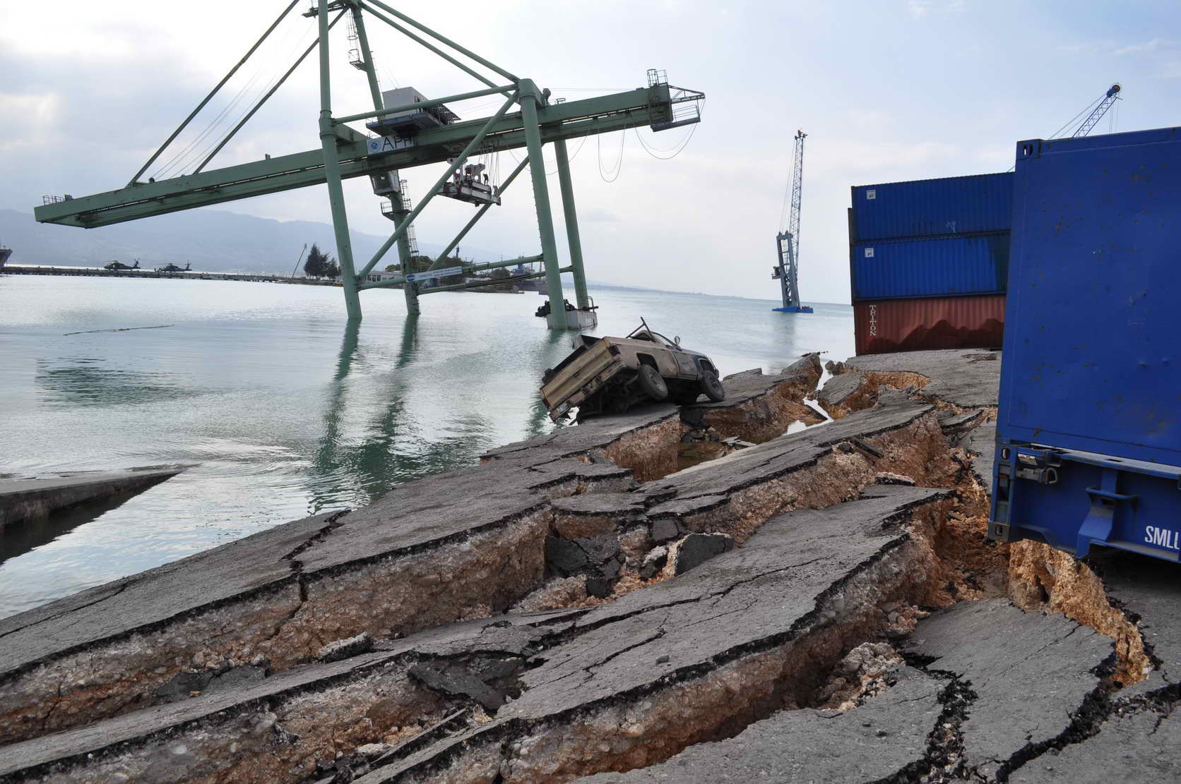
Figure 4. Pier supporting the two cranes completely under water. E. Fierro estimates “10’s of meters” of lateral spreading at port. |
| |
|
|
| |
|
|
 |
|
 |
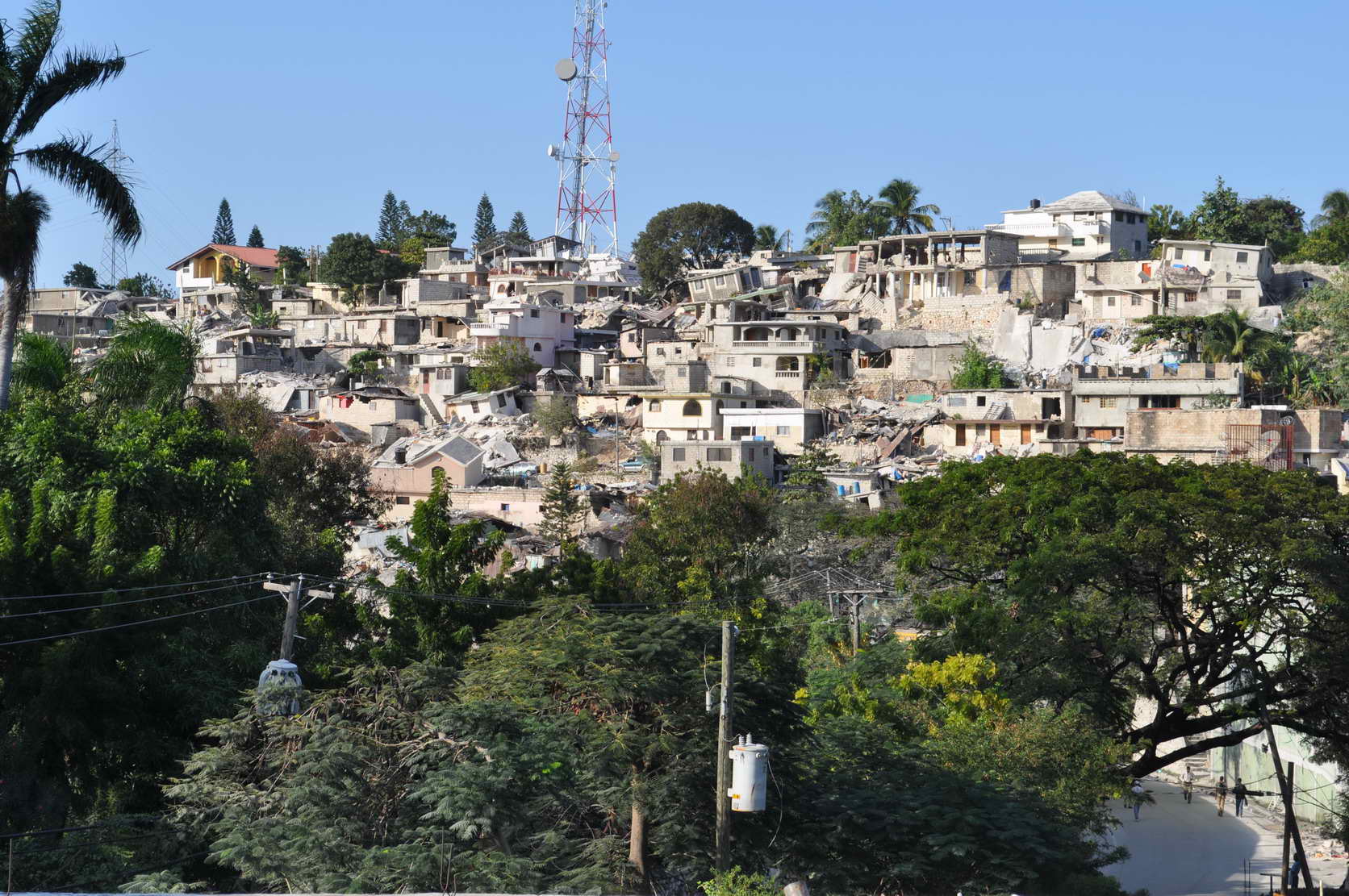
| Figure 5. View of hillside in Petionville. Damage to housing. Communication tower and electrical transmission tower still standing. |
|
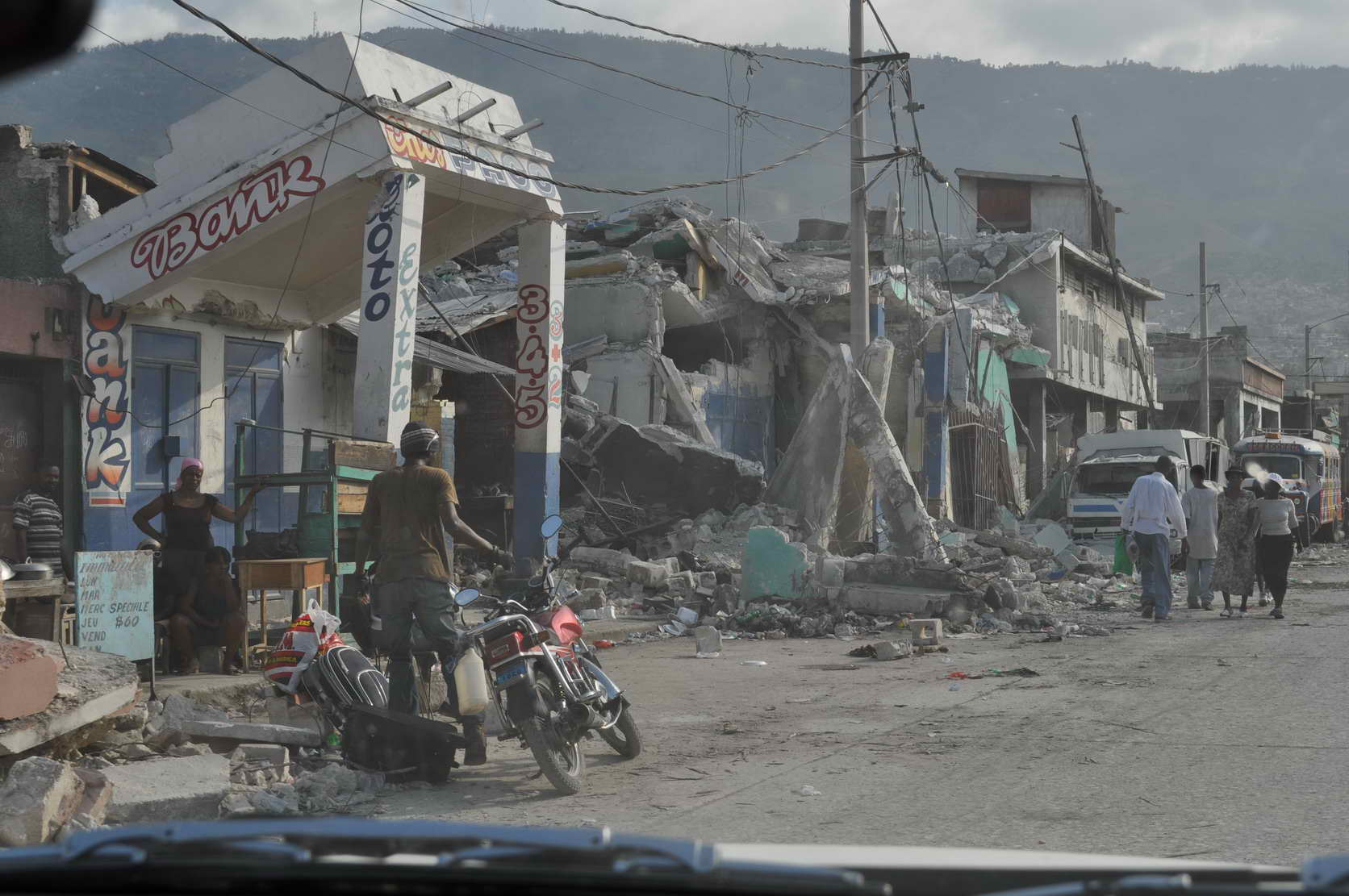
Figure 6. Widespread destruction of nonductile concrete structures in Port-au-Prince. |